What makes my estuary unique?
Explore the characteristics of this estuary

What's happening upstream?
See results from monitored river quality sites influencing this estuary

What surrounds my estuary?
See land cover information from monitored catchments that surround this estuary

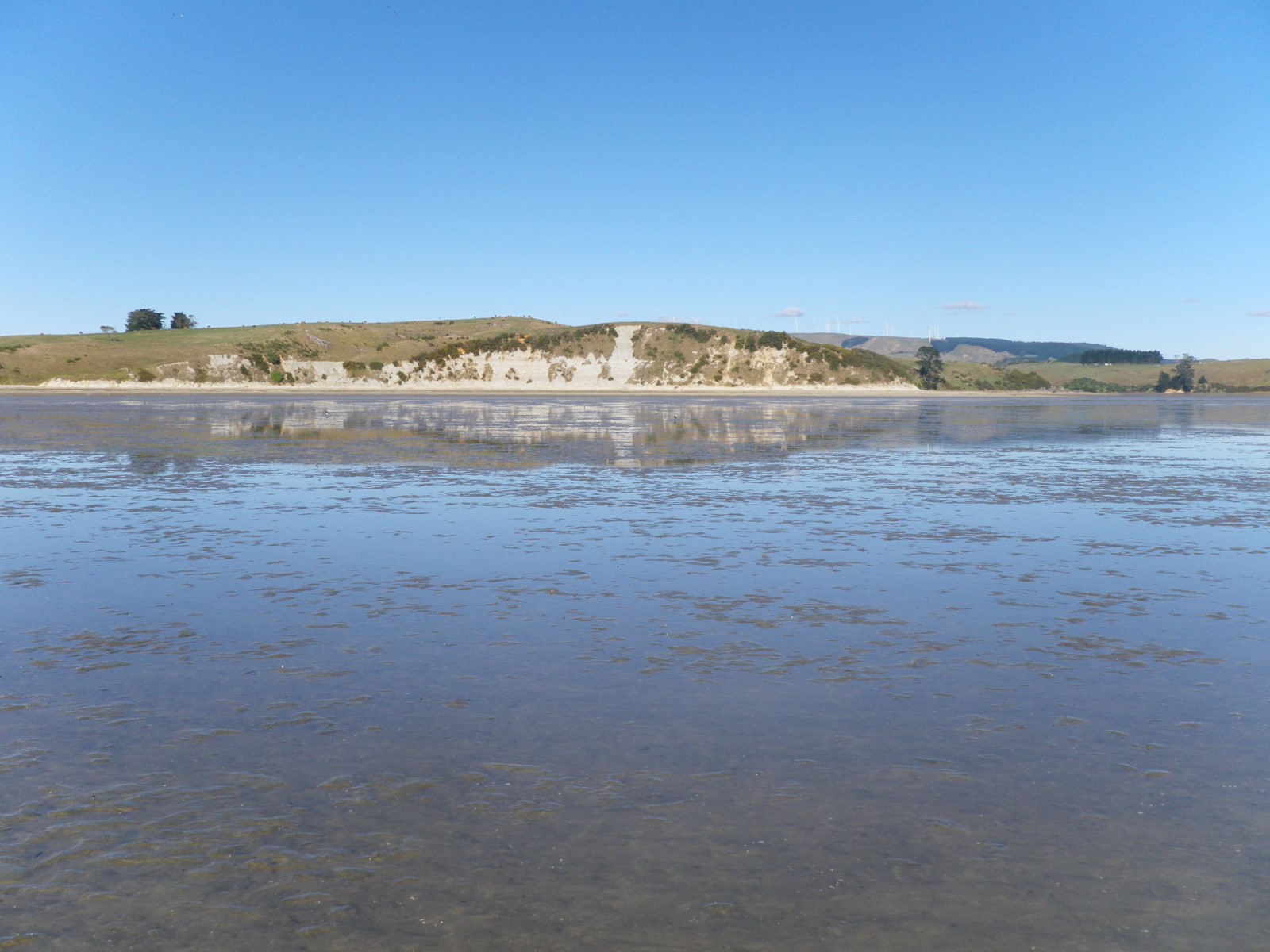
What surrounds my estuary?
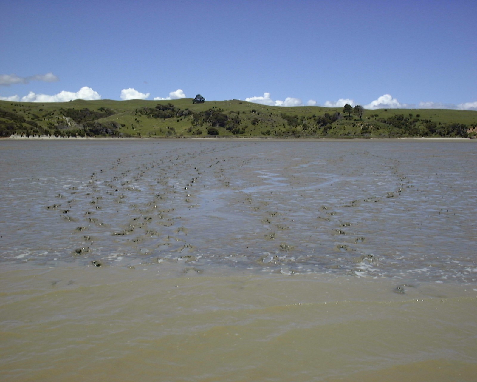
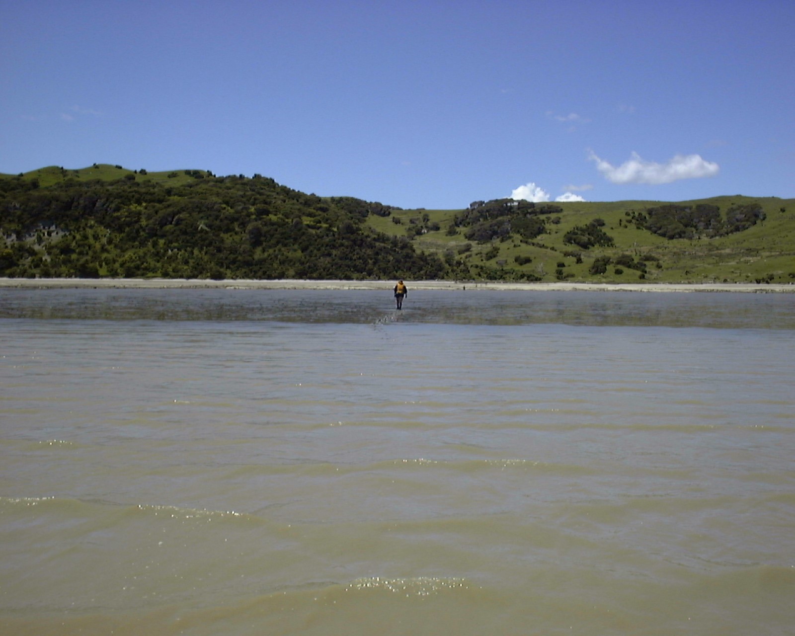
The physical characteristics and health of estuaries are influenced by local geography and the way we use our land. This is because estuaries are the receiving environments for many of our land use activities. Land cover information can be used as an indicator of land use, therefore knowing the surrounding land cover can help us understand which pressures might be affecting Estuary Health.
Where there is land cover information available for nearby catchments, these are listed below. These figures show the types of vegetation and built or natural features that surround the estuary margins and the rivers that flow into this estuary. You can click through to the Land Cover topic to see these land cover classes broken down into further detail, and view changes over time.

Ohautira Stream
Waitetuna River
Waingaro River
Wainui Stream
What do the Broad Land Cover Classes mean?
Land cover information on LAWA is grouped into land cover classes at two levels of detail – broad and medium. For this overview we are showing the six broad-level classes for the catchment.
-
Forest
Inclusive of; indigenous and exotic forest.
-
Scrub / shrubland
Inclusive of; indigenous and exotic scrub / shrubland.
-
Grassland / other herbaceous vegetation
Inclusive of; tussock and exotic grassland and other herbaceous vegetation.
-
Cropland
Inclusive of; cropping / horticulture.
-
Urban / bare / lightly-vegetated surfaces
Inclusive of; natural bare/lightly-vegetated and artificial bare surfaces, and urban area
-
Water bodies