Hawke’s Bay Regional Council is about to begin a region-wide monitoring programme of riparian zones.
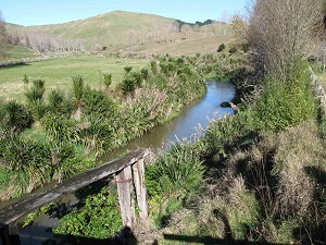
Riparian zones are the area between the land and the waterways. When well-maintained they can act as a crucial buffer trapping nutrients, sediments and bacteria before they enter the water. They also provide an important habitat for aquatic and terrestrial plants and animals and can also provide safe ‘corridors’ allowing movement of species across the landscape.
In the past, the Council has conducted desktop analysis of riparian conditions in the region, using aerial imagery to examine the level of stock access to waterways and the extent and condition of riparian vegetation. However, this method only provides a snapshot in time and interpretation of imagery can be subjective depending on the viewer.
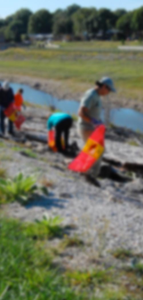
The new monitoring method will involve on the ground investigation of several hundred riparian sites. The number and location of these sites have been specifically chosen to enable the statistical representation of the entire region.
Hawke’s Bay Regional Council Resource Analyst – Land Science, Jamie Wu says “this new approach will provide details on the amount of fencing, vegetation, erosion etc. and will provide a picture of the region’s riparian condition and allow changes to be monitored in the future”.
“We will begin monitoring in the Tukituki Catchment, before expanding the monitoring across the whole region catchment by catchment. We will return to individual sites on a five yearly basis,” says Jamie Wu.
The data from the first round of the survey will be used to benchmark the current state of riparian conditions and to highlight any future improvement or deterioration in these areas.