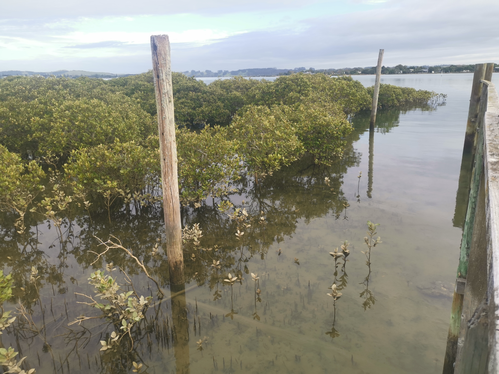
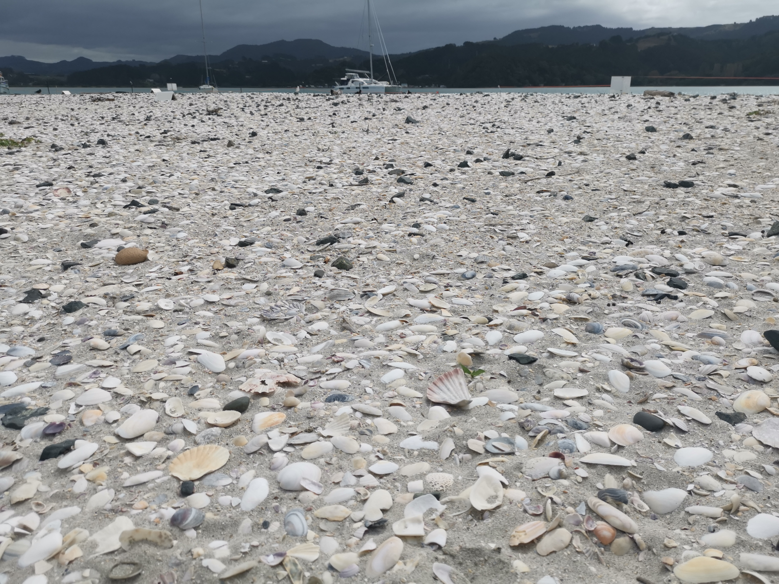
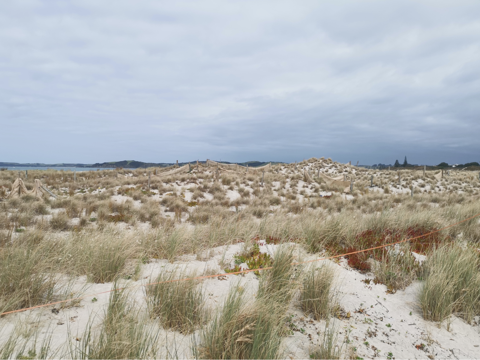
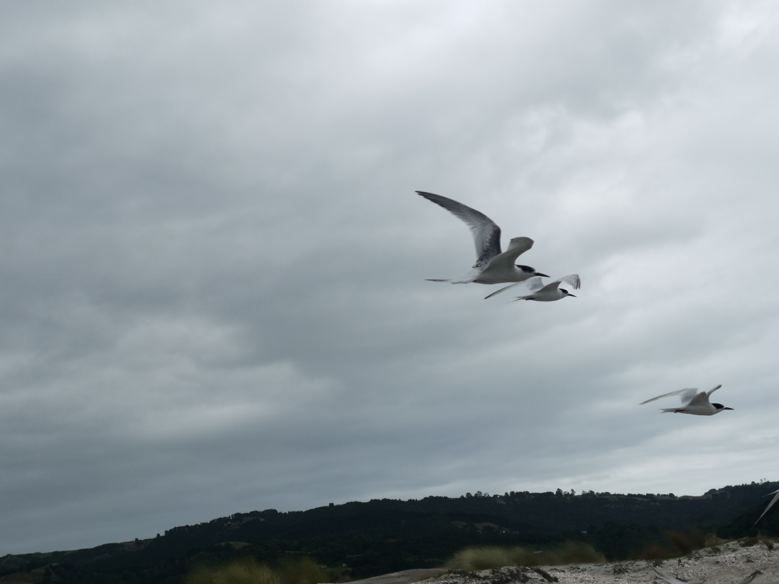
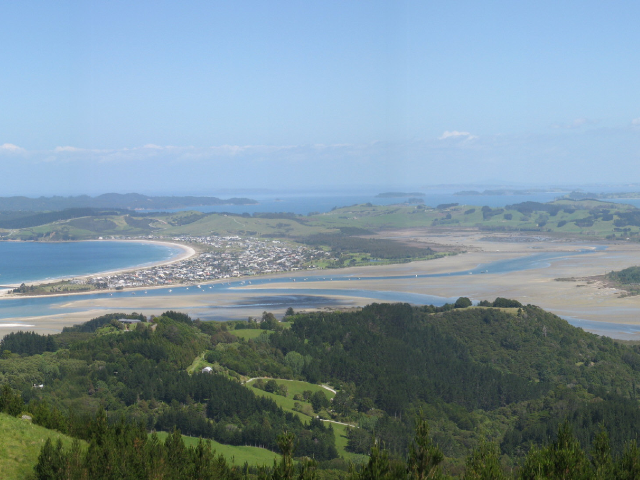
What makes my estuary unique?
Explore the characteristics of this estuary
Overview

What's happening upstream?
See results from monitored river quality sites influencing this estuary
River quality

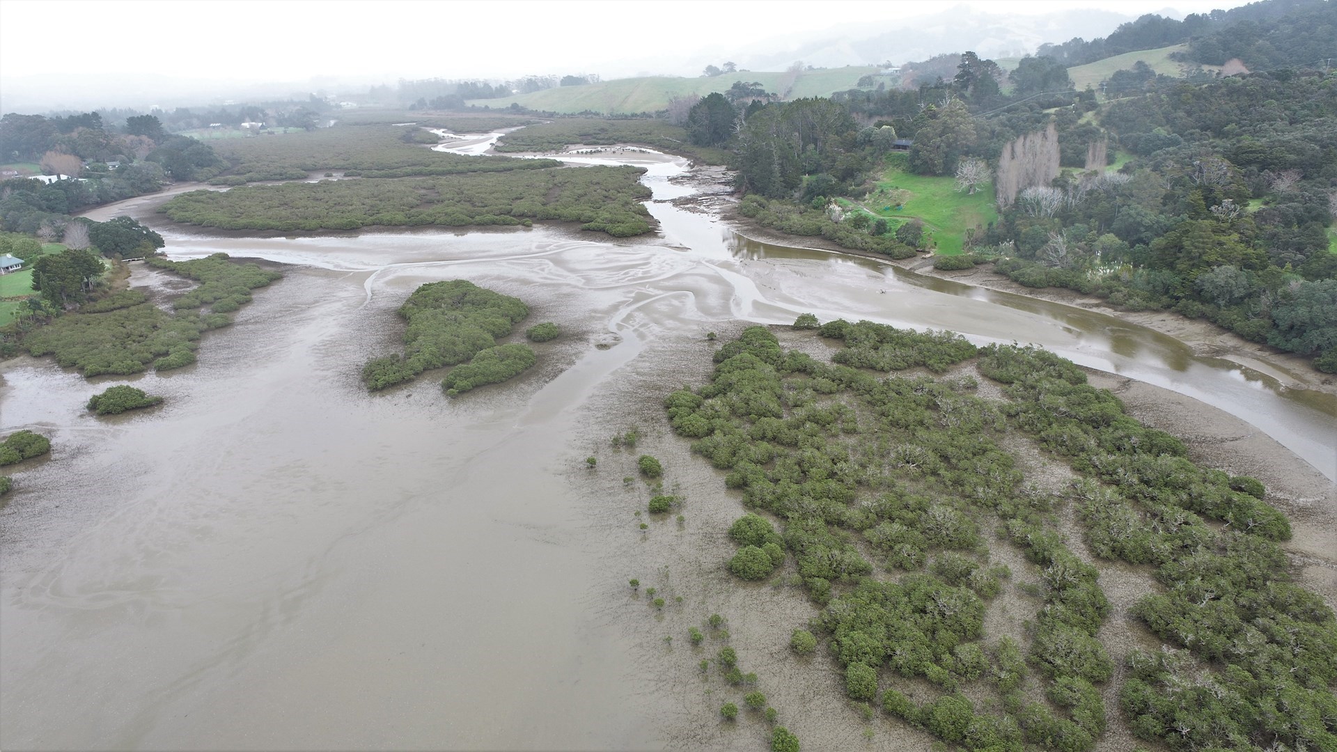
What surrounds my estuary?
See land cover information from monitored catchments that surround this estuary
Land cover