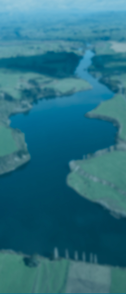

Taranaki’s 723,610 ha make up approximately 3% of New Zealand’s total land area and the region is home to around 110,000 people. The Taranaki Region has two distinct landforms – the volcanic ring plain centred on Mount Taranaki (and Egmont National Park) and the dissected Taranaki hill country –with around 530 named rivers and streams. Annual rainfall varies markedly, ranging from less than 1,400 mm in coastal areas to more than 8,000 mm at the summit of Mount Taranaki. About 60% of the region is used for high-intensity pastoral farming and 40% is in indigenous forest and shrubland, mostly within Egmont National Park and areas of the inland hill country.
Taranaki Regional Council's main office is in Stratford, but it also operates the Taranaki Emergency Management Office in New Plymouth.