This Otago Anniversary Weekend (18-20 March), Dunedin families can explore and learn more about the Water of Leith, with help from the Otago Regional Council’s #lovetheleith River Trail map. ORC has created a self-guided, 4km walking trail along the Water of Leith that begins in Woodhaugh and finishes at the harbour mouth of the river.
The trail begins at the lower entrance of Ross Creek Trail, near Rockside Road bridge. The first half follows the Upper Leith Walkway, part of ORC’s 3 Streamscapes project involving the Water of Leith, Lindsay Creek, and Kaikorai Stream.
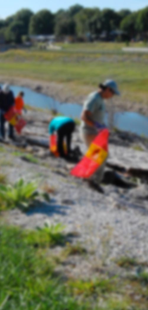
The trail takes people on a journey along the river, with 10 stops of interest. At each stop, trail users will find a chalk heart corresponding to a story on the back of the map.
ORC director stakeholder engagement Caroline Rowe said the trail is a fun adventure for kids and their parents or guardians providing an opportunity for them to get out and learn about the ecology, biodiversity, and history of the Leith river.
“With the weather looking good for the long weekend, people can grab a map and explore the river at their own leisure. There’s lots to be learnt or rediscovered about this Dunedin treasure,” Mrs Rowe said.
From tomorrow (Saturday 18 March) until Sunday 30 April, trail users are encouraged to share a photo of their adventure along the Leith on social media with the hashtag #lovetheleith. People who do so are in to win weekly spot prizes of a family pass to Orokonui Ecosanctuary, and a grand prize of a child’s 2017 Giant XtC JR 2 24” bike, sponsored by Bike Otago.
The grand prize winner will be announced on Monday 1 May.
While the trail is a temporary installation, Otago Regional Communications Committee chairman Cr Michael Deaker said it has the potential to be a catalyst for long-term community engagement with ORC’s Leith flood protection scheme.
If it proves to be popular, the concept could also be applied to other waterways in the Otago region.
“It could even be a valuable educational resource for teachers looking for learning opportunities outside the classroom,” Cr Deaker said.
ORC director engineering, hazards, and science Dr Gavin Palmer said the trail recognises the social value the river brings to Dunedin, and in particular, how it is uniquely located right in the heart of the city.
“It is not common to have a river running through a central business district, and the Leith is especially characteristic with its steep catchment and boulder beds. A river like this is not often seen in other urban waterways around the country.”
Dr Palmer said the trail not only provides a connection between the northern city fringes and the sea, but connects people to the river’s past.
“It is like walking through a living museum of Dunedin’s natural history. In just an hour you can cover a lot of ground, both physically and historically, and learn about the river that has helped shaped Dunedin,” he said.
Mrs Rowe highlighted the trail’s ‘PG’ rating, noting that parents or guardians needed to be mindful of children around roads and waterways.
Copies of the maps are available on ORC’s webpage www.orc.govt.nz/lovetheleith ; and at the following locations: Otago Regional Council office 70 Stafford St; Bike Otago 252 Cumberland St; Dunedin Botanic Garden Information Centre, and at the beginning of the Upper Leith Walkway, Rockside Rd.
For more information contact:
Caroline Rowe
Director stakeholder engagement
ORC
Ph 0800 474082
Communications contact
Mark Peart Team Leader Communications – Channels
Ph 0800 474082 or 027 5312620
Email: mark.peart@orc.govt.nz