Manawatū-Whanganui region
Lakes
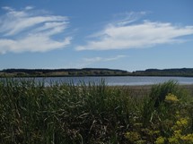
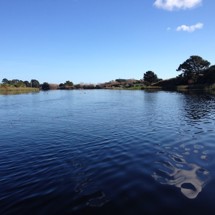
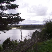
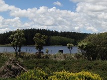
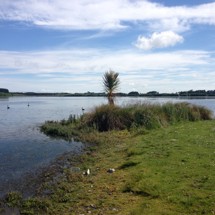
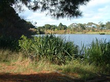
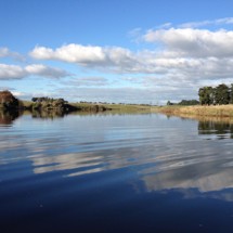
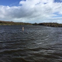
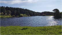
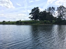
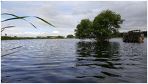
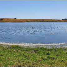
There are around 179 lakes greater than one hectare in size in the Horizons Region. These range from coastal dune lakes, such as Lake Horowhenua - New Zealand’s largest dune lake - through to landslide lakes found throughout the hill country to the north of the Region and volcanic lakes, such as the Crater Lake on Mt Ruapehu.
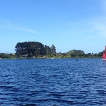
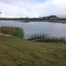
These treasured freshwater systems provide for a range of ecological, cultural and spiritual values. They are often popular areas for water sports, fishing and hunting, and kai gathering.
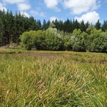
The lakes of the Horizons Region are vulnerable to a wide range of threats. They include vegetation clearance and land use impacts, the abstraction of surface and groundwater, and the introduction of pest fish and aquatic pest plants. Over time, these pressures have resulted in declining water quality and the spread of invasive weeds in some of our lakes.
The water quality and ecological status of many lakes within the Region are presently poorly understood and, in many cases, unknown. Horizons Regional Council is currently undertaking a comprehensive review of its requirements under the National Policy Statement for Freshwater Management 2020 (NPS-FM) relating to the management of lakes, including the science needed to support policy development and general implementation. Check out the Oranga Wai | Our Freshwater Future website to learn more about Horizons and our NPS-FM journey.
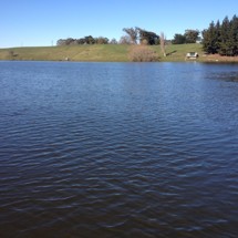
Activities in the surrounding catchment or Freshwater Management Unit (FMU) significantly impact the quality of lake water and the creatures that live there. Lake Trophic Level Index (TLI) monitoring of 17 lakes in the Region indicates much room for improvement in the overall health of these vulnerable waterbodies. Lakes with better water quality generally reside in areas with more native forests or vegetation. In contrast, lakes with poorer water quality are surrounded by highly productive grassland. For example, our murkier dune lakes with higher nutrient levels are located in catchments where around 68 per cent of land has been converted to pastoral agriculture.
Our Monitoring Programmes
Horizons monitors the ecological health of 17 lakes in the Region using the Trophic Level Index (TLI). This measurement assesses four components that each play an essential role in the ecological functioning of a lake: chlorophyll a, the nutrients nitrogen and phosphorus, and water clarity.
LakeSPI stands for Lake Submerged Plant Indicators. This is a monitoring technique where divers look at the presence of both native and introduced submerged macrophytes (large aquatic plants and algae) as an indicator of ecological health. LakeSPI surveys have been completed for 41 lakes throughout the Region, and resurveying generally occurs every five years.
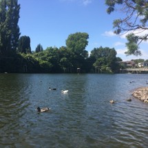
Our swim spot monitoring programme covers over 80 sites across the rohe, including three lakes: Lake Wiritoa, Hokowhitu Lagoon, and Lake Dudding. Every swimming season, from November to April, our staff check these popular locations weekly to ensure they are suitable for swimming.
Regional Plans and Restoration Activities
Because every lake behaves in a slightly different way, no one solution will be suitable for every lake. Effective management requires a sound understanding of ecological risks, cultural sensitivities, and logistical and financial challenges. Horizons is working with local iwi, landowners, territorial authorities and lake experts from around New Zealand to improve our understanding of the Region’s lakes, inform current management, and support future decision-making.
Through collaboration with iwi/ hapū and local stakeholders, we have developed restoration plans for:
- Lake Horowhenua,
- Lake Pauri,
- Lake Wiritoa, and
- Lake Oporoa.
Two further reports completed in 2018 identify the information required to fully inform the development of restoration plans for several shallow and deep dune lakes.

Horizons Regional Council
Click for more info