What makes my estuary unique?
Explore the characteristics of this estuary

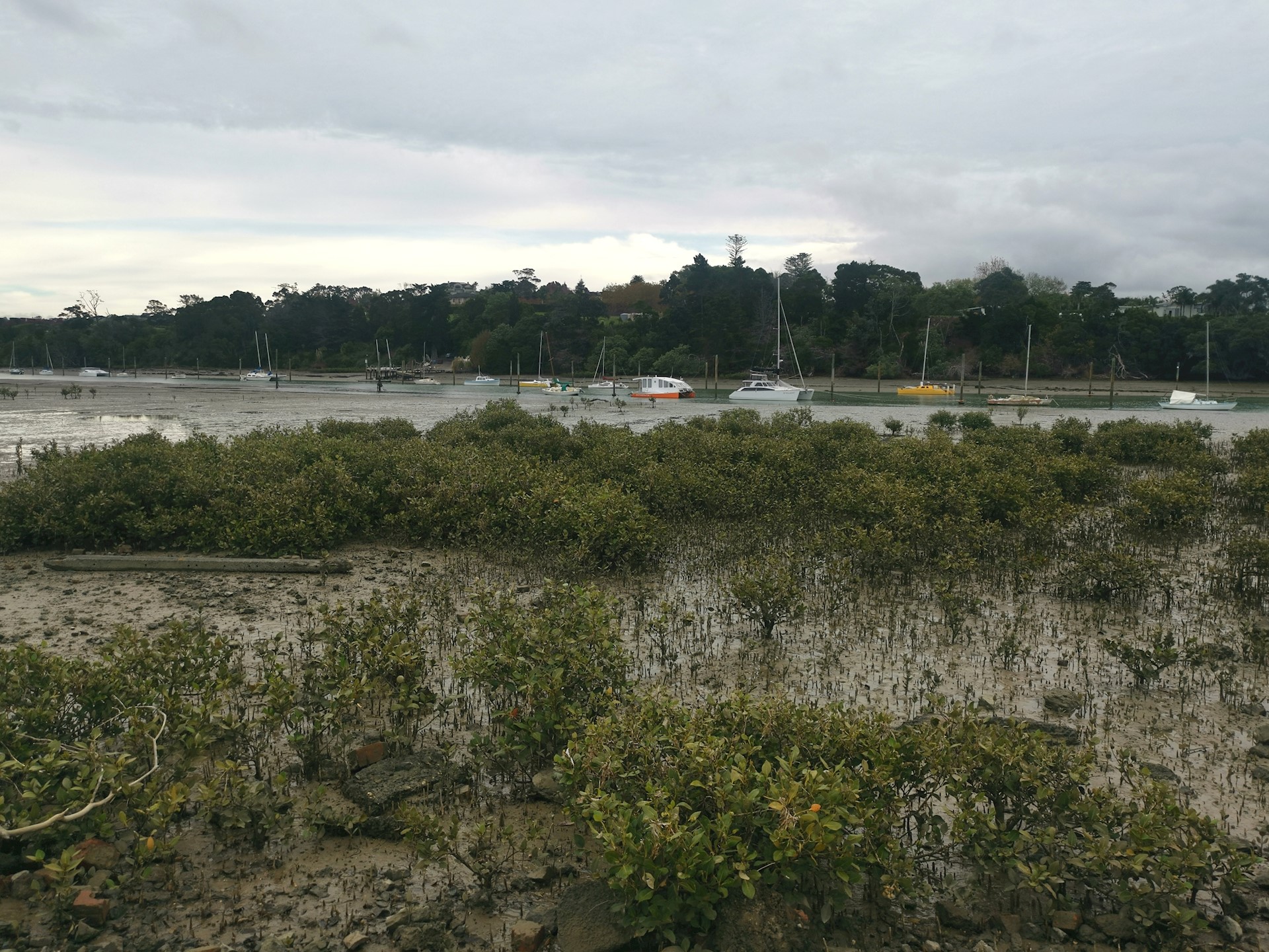
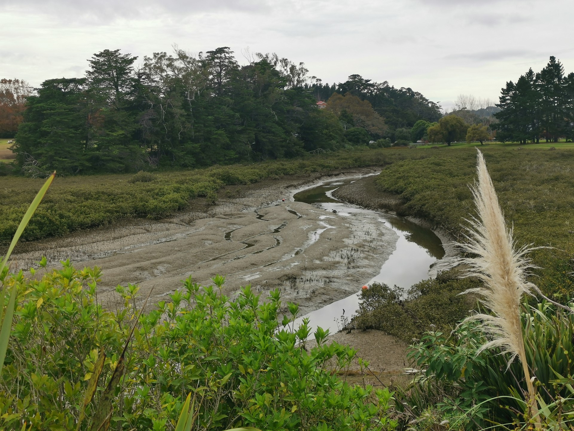
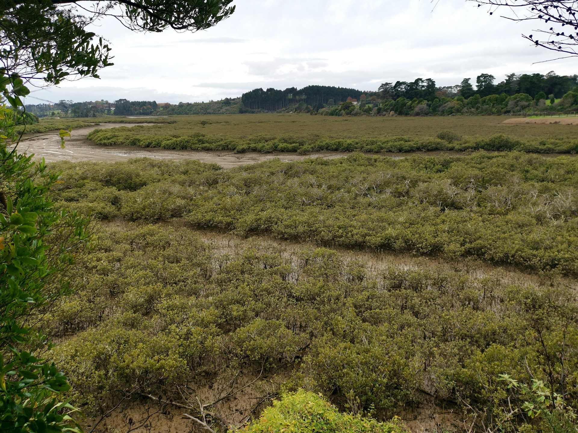
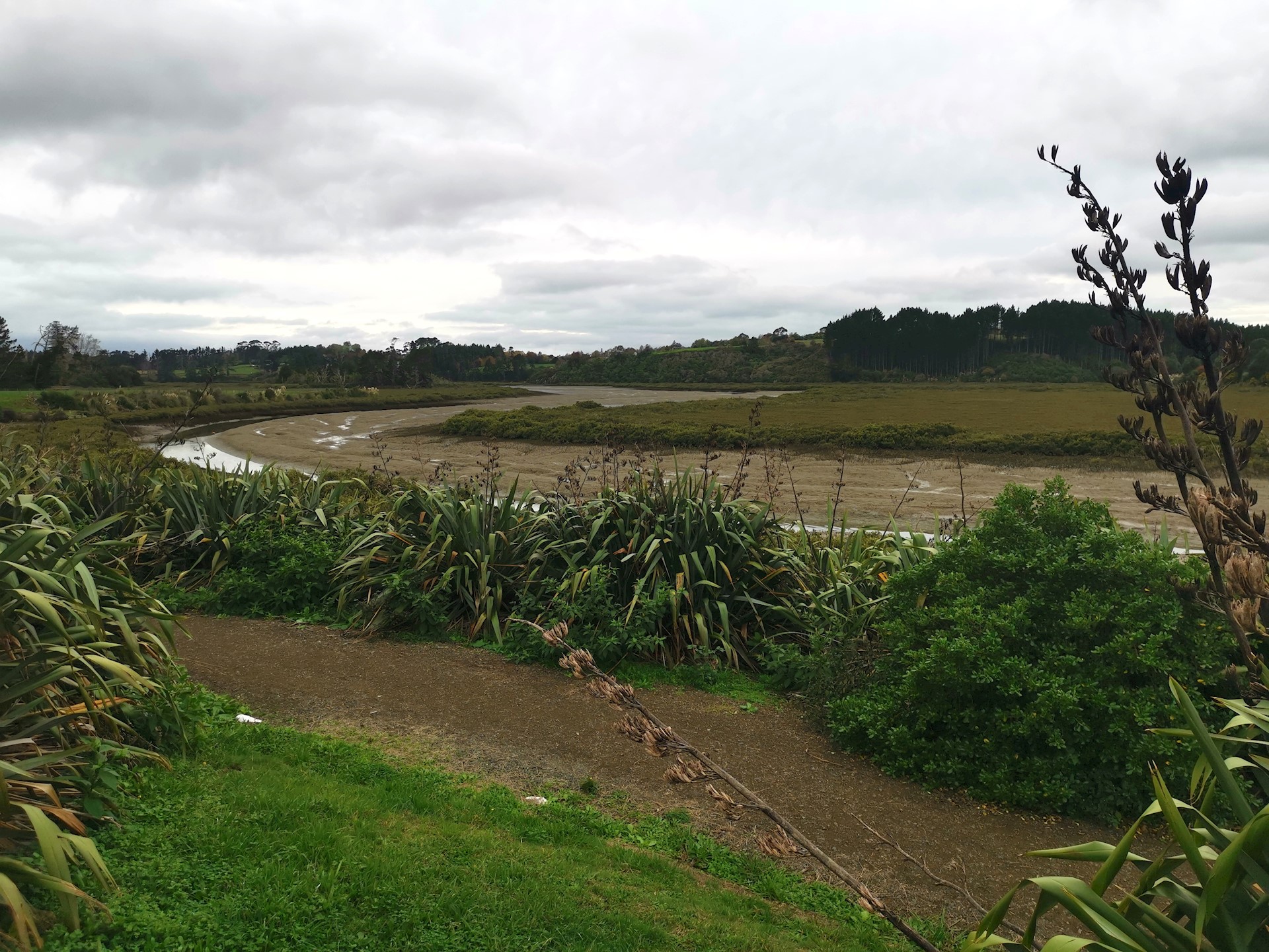
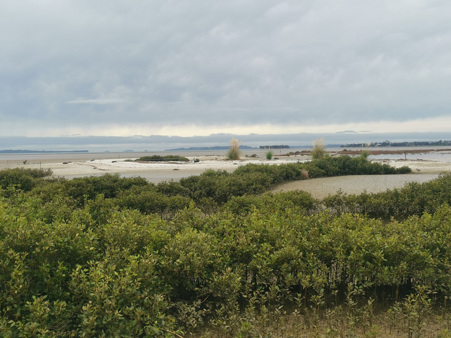
Estuary characteristics
-
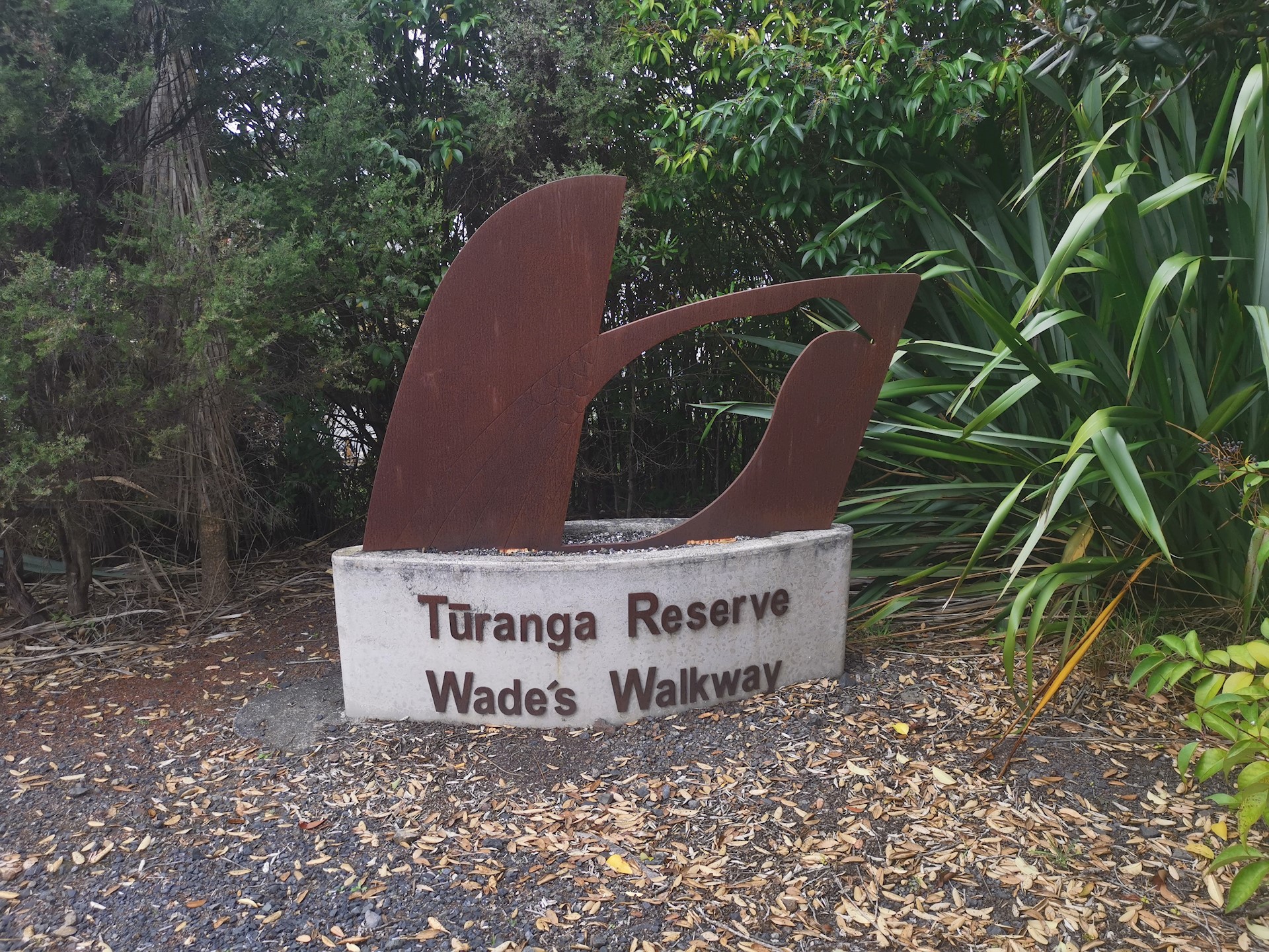
Significant features
- Various large shell banks
- Turanga Reserve Wade's Walkway
- Within the Hauraki Gulf Marine Park
- Significant Ecological Areas identified within the estuary as defined in the Auckland Unitary Plan
-
Total area
150 hectares
-
Total shoreline length
~15.1 km
-
Key rivers
- Tūranga Creek
Highlighted reports
These links are from your regional councils and unitary authorities and provide additional information about this estuary
Auckland Council's 2020 SOE reporting Marine Ecology State & Trends to 2019Related factsheets
For more details on particular topics see these factsheets
Understanding estuaries Estuary typesDepartment of Conservation
Want to connect with restoration groups or explore your local estuary? You can find more information on the DOC’s interactive maps.
Restoring estuaries map Experiencing estuaries mapWhat's happening upstream?
See results from monitored river quality sites influencing this estuary

What's happening upstream?
The physical characteristics and health of estuaries are influenced by the rivers and streams flowing into them. For instance, when it rains the mud and contaminants generated on land can be washed into rivers and eventually flow into the estuary. The health of our rivers and streams can therefore be very important for Estuary Health, and understanding the upstream pressures can help with interpreting estuary monitoring data.
Monitoring is undertaken for a range of river health indicators (e.g., water quality and ecology) in many catchments across the region. Where there are monitored river catchments that influence this estuary, these are shown below. You can click through to view monitoring results from these River Quality sites to see current state and how health has changed over time.
What surrounds my estuary?
See land cover information from monitored catchments that surround this estuary

What surrounds my estuary?
The physical characteristics and health of estuaries are influenced by local geography and the way we use our land. This is because estuaries are the receiving environments for many of our land use activities. Land cover information can be used as an indicator of land use, therefore knowing the surrounding land cover can help us understand which pressures might be affecting Estuary Health.
Where there is land cover information available for nearby catchments, these are listed below. These figures show the types of vegetation and built or natural features that surround the estuary margins and the rivers that flow into this estuary. You can click through to the Land Cover topic to see these land cover classes broken down into further detail, and view changes over time.