The Waiwhakaiho River has high cultural, aesthetic, ecological, recreational and economic value to the people of Taranaki.
Originating on the north-eastern slopes of Mount Taranaki in Egmont National Park, the river flows across farmland on the ringplain then through urban New Plymouth to the Tasman Sea. The catchment covers 144 square kilometres and is one of the largest of more than 300 waterways flowing from the mountain.
Flow from the river is diverted to the man-made Lake Mangamahoe for domestic and industrial water supply for New Plymouth, Bell Block, Waitara and other small communities, and for hydro-electric power generation.
High rainfall in the upper catchment, and the relatively steep gradient of the river channel, mean the river can rise rapidly but the deep river channel means flooding is not generally a problem. The Waiwhakaiho Valley retail and urban area is protected by the Lower Waiwhakaiho Flood Control Scheme.
The community, industries and farmers in the Waiwhakaiho River catchment are making major investments to protect and enhance the freshwater resource.
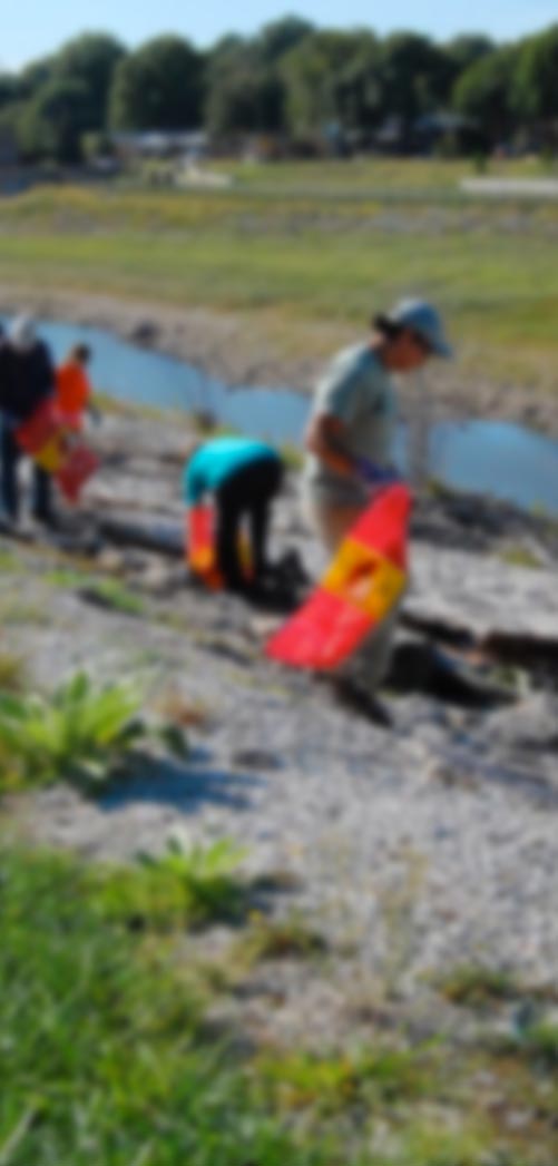
The Taranaki Regional Council works with landowners to fence and plant river banks in the Waiwhakaiho catchment. Find out more about the Taranaki Riparian Management Programme at Taranaki Regional Council's website.
The Council measures the physical and chemical water quality and ecological health of the river in the mid-catchment near Egmont Village.
Ecological health for the Waiwhakaiho catchment is showing significant improvement in long-term trends. And water quality is expected to improve in coming years as new riparian (streamside) fencing and planting in the catchment becomes established. Ecological monitoring data is not yet available on the LAWA website.
Water quality meets guidelines for aquatic ecosystems, irrigation and drinking water supply source, indicating the high quality of water at this site and water clarity is generally excellent. Nutrients and bacteria levels reflect the agricultural nature of the catchment and phosphorus levels reflect, in part, that the headwaters of this catchment drain Mount Taranaki (a naturally high source of phosphorus for Taranaki streams). Recent trends over the last seven years show concentrations are essentially stable for all parameters measured.
The Waiwhakaiho River consistently meets national guidelines for algal growth.
The Taranaki Regional Council carries out recreational bathing surveys at two sites on the Waiwhakaiho River during the summer months (November to March).
At the popular swimming site at Merrilands Domain during the 2012-2013 and 2013-2014 summers, 100% of samples met the freshwater microbiological water quality guidelines prepared by the Ministry of Environment in conjunction with the Ministry of Health (MfE, 2003) and did not exceed the ‘Action’ level (>550 E.coli/100mls).
The site near the Te Rewa Rewa bridge at the river mouth is used mainly for whitebaiting (in season), and walking. Large flocks of seagulls and ducks are present in the lower reaches between Merrilands Domain and this site. Investigations have shown that bathing guideline exceedances at this site are caused by birdlife.
Summer surveys at Te Rewa Rewa showed that 8% (2012-2013) and 46% (2013-2014) of samples met the freshwater microbiological water quality guidelines prepared by the Ministry of Environment in conjunction with the Ministry of Health (MfE, 2003) and did not exceed the ‘Action’ level (>550 E.coli/100mls).
The latest update on the Taranaki region’s water quality is available on Taranaki Regional Council's website .
The Sharing the Waiwhakaiho – Taranaki Living Lab project has recorded people’s diverse connections, experiences, memories and images of the Waiwhakaiho.